Opens in a new tab

30 September - 2026

When the Rain Stops, the Risk Begins: Know Where Water Is Pooling in Your Fields

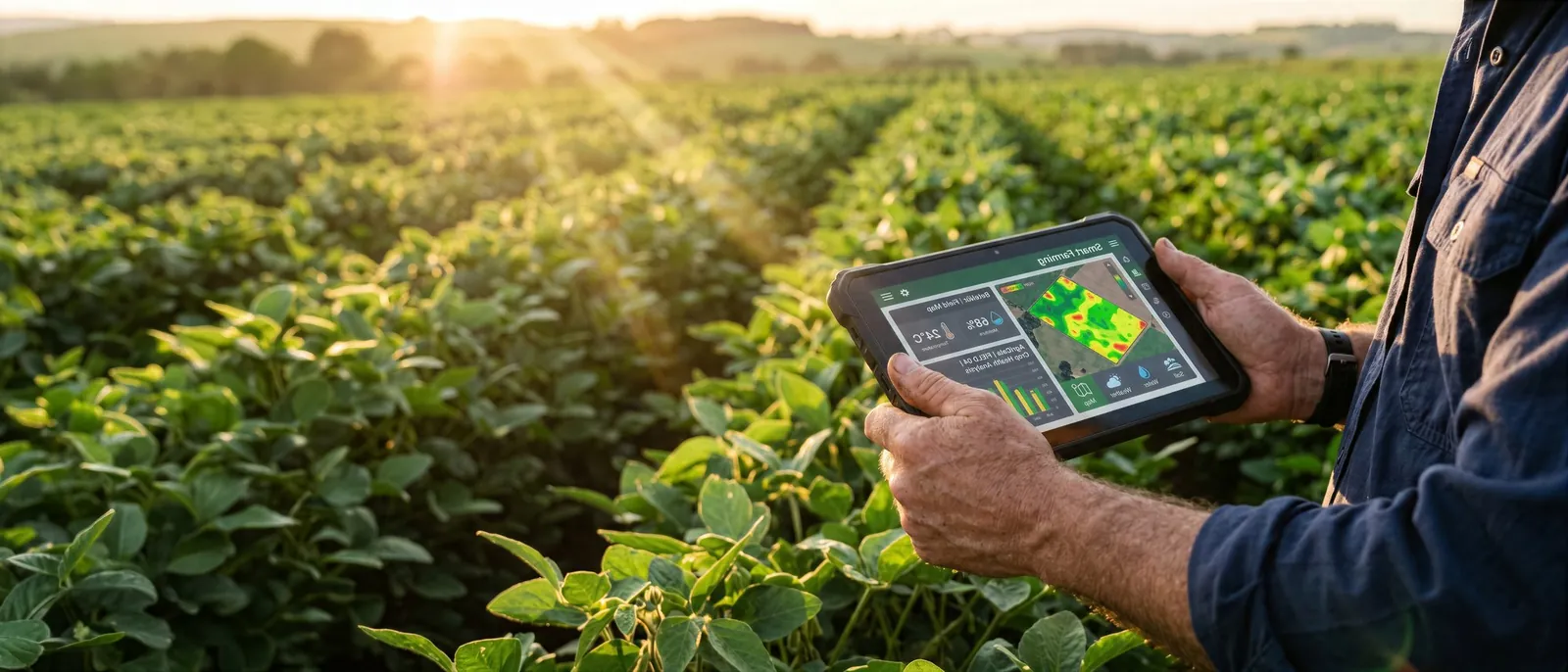
Farmer holding a tablet in a sunlit field of green crop rows at golden hour
Agriverse Team
1 week ago
0 comments

Agriverse Tech brings agricultural intelligence to your fields, helping you see which areas may be at risk from excess water.

Heavy rainfall can turn a productive field into a waterlogged one within hours. What looks like a manageable downpour can quickly leave water standing in low-lying patches, compacted zones, and poorly drained corners.

When soil stays saturated, the consequences add up. Roots are deprived of the oxygen they need, field operations get delayed, and crop stress increases. The longer the water sits, the harder it can be to recover.

The first step is simple: know where the water is accumulating, know which areas are at risk, and act before the damage spreads. In large or uneven fields, that is easier said than done. Problem areas are often hard to spot from the field edge, and walking every acre after a storm is rarely practical.

This is where agricultural intelligence makes a difference. Agriverse Tech connects satellite-based insights with practical farm management, giving farmers and farm managers better visibility across their fields. By highlighting areas that may be affected by excess water, these insights help you decide where to inspect first, prioritise your time, and plan your response with greater confidence.

Technology works best alongside experience. Satellite insights support, rather than replace, on-ground observation, helping you confirm what is actually happening in the field.

Don’t wait until the damage becomes obvious.

Know your field. Know your risk.
Comments On Blogs

Add Comment Here

Frequently Asked Questions

Find clear answers to common questions about Agriverse, its AI-powered capabilities, and how it helps optimize farming decisions, improve productivity, and drive sustainable growth.

Agriverse is an AI-powered agriculture intelligence platform that uses machine learning, satellite data, and predictive analytics to help farmers, agribusinesses, and governments make data-driven decisions. The platform collects farm and environmental data, analyzes it in real time, and delivers actionable insights through an intuitive dashboard.

Smart Farming brings field, weather, and soil data together in one place so you can monitor crop health, plan irrigation, and act on timely recommendations instead of guesswork.

Predictive models forecast crop performance, pest and disease risk, and ideal planting and harvest windows, so teams can act early and improve yield and resource efficiency.

Agriverse analyzes satellite imagery, IoT sensor readings, weather data, soil information, and farm records to build a complete, up-to-date picture of every field.

Agriverse is designed to scale: individual farmers, cooperatives, agribusinesses, and governments can all use the platform at the level that fits their operation.

Yes. Agriverse started in Pakistan and is built to support different crops, climates, and regions around the world.

Accuracy improves as more field data is collected and validated. Agriverse continuously calibrates its models against real outcomes to keep recommendations reliable.