
Agriverse Tech brings agricultural intelligence to your fields, helping you see which areas may be at risk from excess water.
Heavy rainfall can turn a productive field into a waterlogged one within hours. What looks like a manageable downpour can quickly leave water standing in low-lying patches, compacted zones, and poorly drained corners.
When soil stays saturated, the consequences add up. Roots are deprived of the oxygen they need, field operations get delayed, and crop stress increases. The longer the water sits, the harder it can be to recover.
The first step is simple: know where the water is accumulating, know which areas are at risk, and act before the damage spreads. In large or uneven fields, that is easier said than done. Problem areas are often hard to spot from the field edge, and walking every acre after a storm is rarely practical.
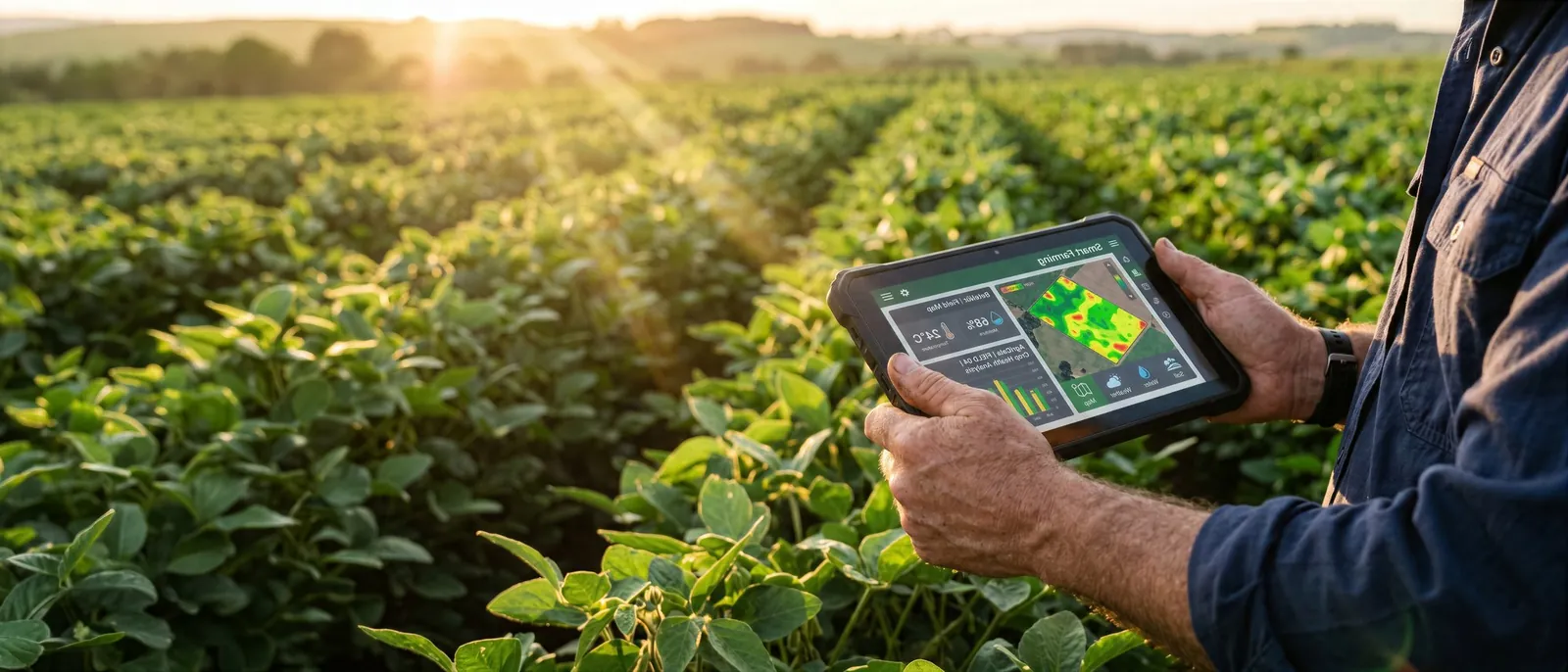
This is where agricultural intelligence makes a difference. Agriverse Tech connects satellite-based insights with practical farm management, giving farmers and farm managers better visibility across their fields. By highlighting areas that may be affected by excess water, these insights help you decide where to inspect first, prioritise your time, and plan your response with greater confidence.
Technology works best alongside experience. Satellite insights support, rather than replace, on-ground observation, helping you confirm what is actually happening in the field.
Don’t wait until the damage becomes obvious.
Know your field. Know your risk.