Opens in a new tab

8 October - 2026

6 Million Hectares Are Dying in Silence

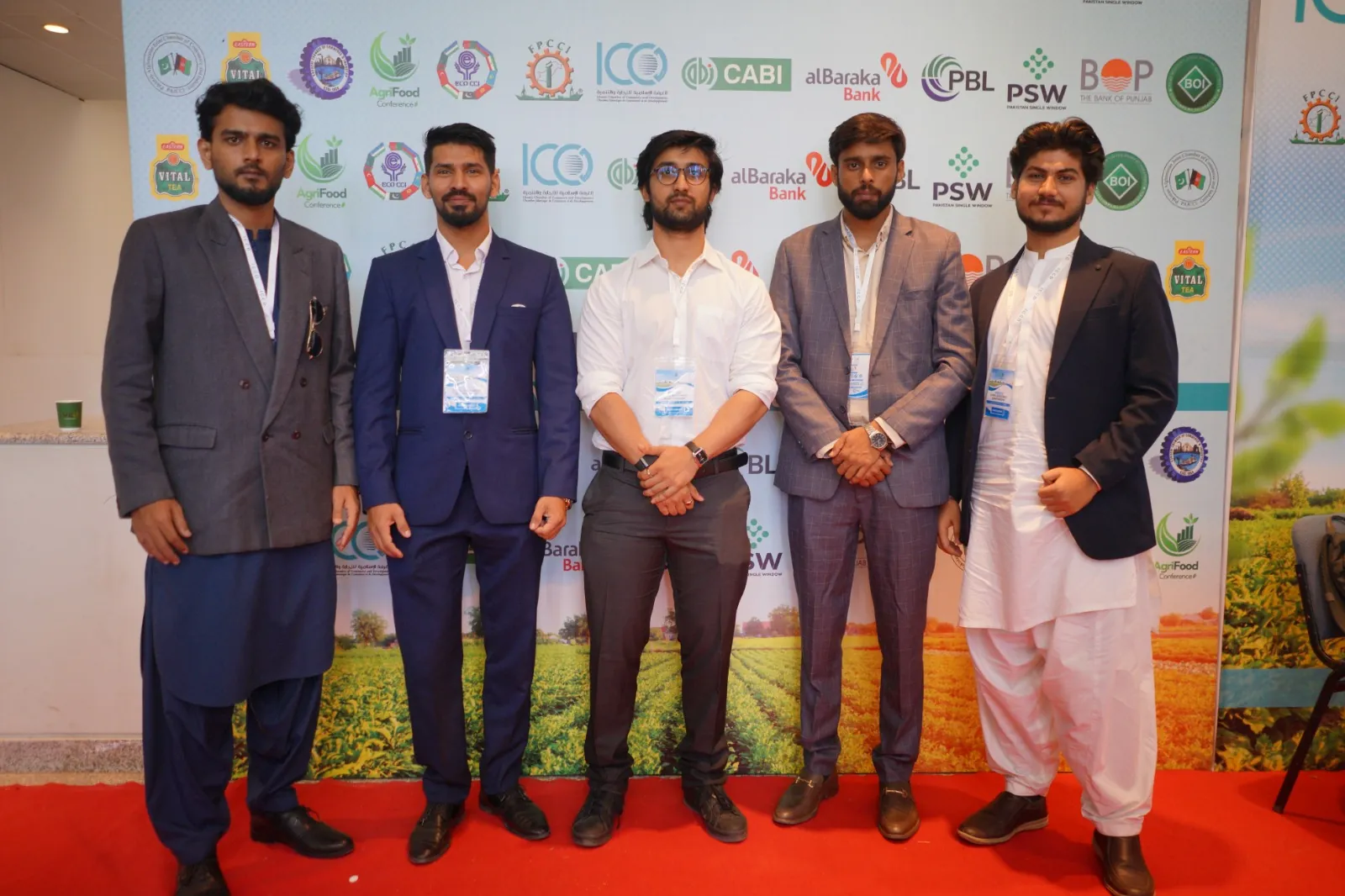
Five men in business and traditional dress standing together on a red carpet at an agriculture expo
Agriverse Team
2 days ago
0 comments

Agriverse Tech pairs satellite intelligence with rigorous soil science to show exactly where to sample and how to reclaim.

Over 6 million hectares of agricultural land across South Asia and the Middle East are quietly degrading, lost to salinity, sodicity, and chemical imbalance. The damage rarely announces itself. By the time it becomes visible, years of investment may already be at risk.

Yet the approach to diagnosing it has barely changed: blind sampling, educated guesses, and delayed decisions.

Agriverse Tech offers a different path. We combine satellite intelligence with rigorous soil science. Satellite-derived insights highlight where soil problems are most likely, so sampling is guided by evidence rather than guesswork. Certified laboratory analysis then provides the real ECe, SAR, and pH values. From there, teams receive a zone-specific reclamation prescription that is ready to act on.

This is not remote sensing replacing soil science. Satellite sensors capture only the top 2-5 cm of soil, which is why we never skip field sampling. We simply make sure every sample is placed exactly where it needs to be.

The result is a more focused, data-supported route from detection to reclamation, built for government and policy bodies, research institutions and universities, large-scale farmers and agribusinesses, and development finance and impact investors.

Science first. Always.

If you work in soil health, land reclamation, or precision agriculture, let’s talk.
Comments On Blogs

Add Comment Here

Frequently Asked Questions

Find clear answers to common questions about Agriverse, its AI-powered capabilities, and how it helps optimize farming decisions, improve productivity, and drive sustainable growth.

Agriverse is an AI-powered agriculture intelligence platform that uses machine learning, satellite data, and predictive analytics to help farmers, agribusinesses, and governments make data-driven decisions. The platform collects farm and environmental data, analyzes it in real time, and delivers actionable insights through an intuitive dashboard.

Smart Farming brings field, weather, and soil data together in one place so you can monitor crop health, plan irrigation, and act on timely recommendations instead of guesswork.

Predictive models forecast crop performance, pest and disease risk, and ideal planting and harvest windows, so teams can act early and improve yield and resource efficiency.

Agriverse analyzes satellite imagery, IoT sensor readings, weather data, soil information, and farm records to build a complete, up-to-date picture of every field.

Agriverse is designed to scale: individual farmers, cooperatives, agribusinesses, and governments can all use the platform at the level that fits their operation.

Yes. Agriverse started in Pakistan and is built to support different crops, climates, and regions around the world.

Accuracy improves as more field data is collected and validated. Agriverse continuously calibrates its models against real outcomes to keep recommendations reliable.