
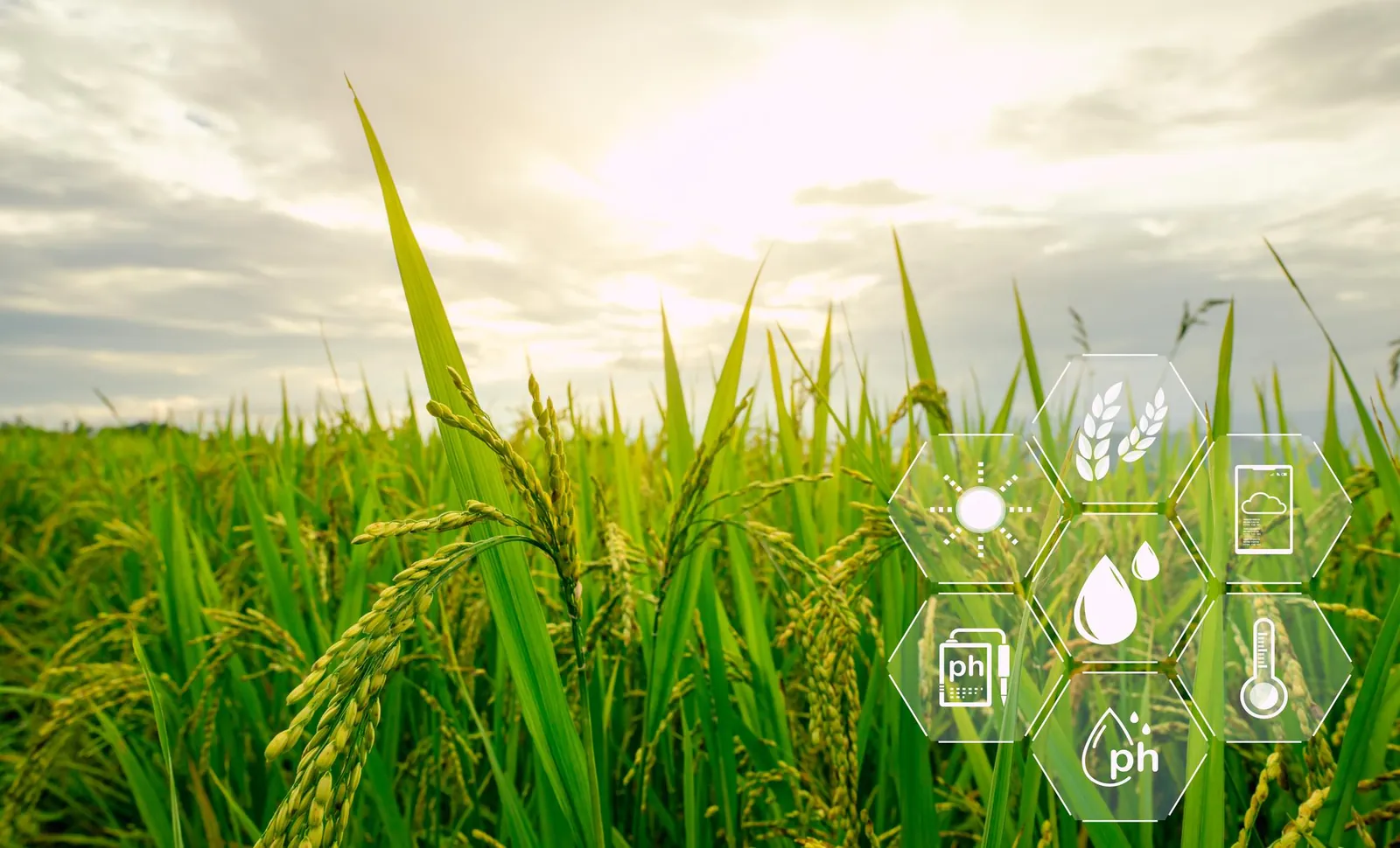

Agriverse SalinityIQ uses satellite-derived insights to help identify potential soil salinity risk zones for targeted field investigation.
A crop can look green, even vigorous, while something less visible is happening in the root zone. Soil salinity is one of the most easily overlooked stresses in agriculture.
Salinity occurs when excess soluble salts build up in the soil. These salts make it harder for roots to take up water, even when moisture is present. They can also interfere with nutrient availability and slow crop growth. By the time yellowing, stunting, or patchy stands appear, salinity may already have been shaping growing conditions for some time.
This is where Agriverse SalinityIQ helps. As a practical agricultural intelligence feature, SalinityIQ uses satellite-based insights and salinity-related indicators to highlight zones where soil salinity risk may be higher. It does not measure salinity directly or diagnose it on its own. Instead, it points you toward the areas that deserve attention.
With that information, farmers, growers, agronomists, and consultants can prioritise field inspections, take targeted soil samples, and plan suitable soil management strategies with greater confidence. Rather than sampling blindly, you can focus effort where it is most likely to matter.
Satellite observations work best alongside on-ground soil testing and sound agronomic assessment. Together, they turn early signals into verified, actionable knowledge.
Because what you cannot see can still shape your harvest.
Detect hidden soil stress with Agriverse SalinityIQ.